White Sands National Monument   //   Location   //   How to Get Here   //   What to Do at the Sands   //   Maps

Geology   //   Military   //   NASA   //   Spaceport America   //   Hot Air Balloon Invitational   //   Events   //   Photo Gallery

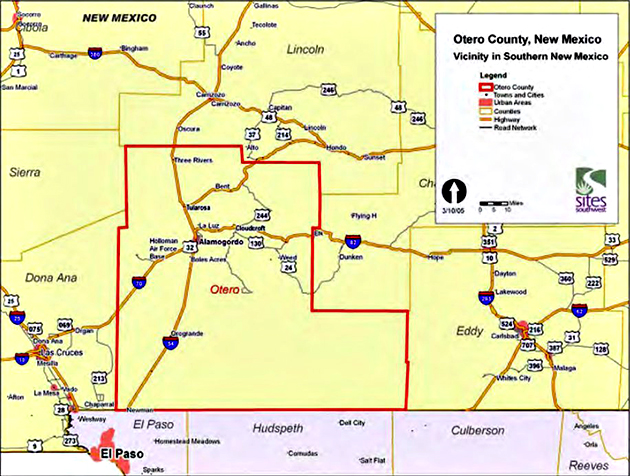
Home // Otero County


Otero County

View of Sierra Blanca, Otero County, New Mexico
Sierra Blanca
Photo: Rob Roberts


The highest elevation in Otero county is Sierra Blanca with 11,997 feet (3,656 m).

Sierra Blanca is the highest peak in the Sacramento Mountains, which, in turn, are part of the Rocky Mountains.


Otero County, New Mexico, covers 6,626 square miles and has a population of approx. 64,000.


White Sands is situated in Otero County and Dona Ana County.


See this map here:

Tularosa Basin Map
White Sands Map Location


Here is a map of the counties in New Mexico:

Map New Mexico Counties
County Map New Mexico
The University of New Mexico


Map Location Otero County, New Mexico
Wiki


The oldest permanent settlement in the county is La Luz, where a Franciscan mission was established in 1719. You will find La Luz between Alamogordo and Tularosa.


Otero County, New Mexico — Vicinity in Southern New Mexico
Otero County.us


Otero County was established in 1899. County seat is Alamogordo.

This is the link to Alamogordo Chamber of Commerce. And this is the link to the City of Alamogordo.

And this link here tells you how healthy it is to live in Otero County. Please note that obesity gives us more headaches than substance abuse.


The main attractions in Otero County are:

Lincoln National Forest (think Smokey the Bear)

The historic town of Lincoln (think Billy the Kid)

Cloudcroft (think skiing and golfing)

Sunspot (think
National Solar Observatory and Apache Point Observation)

Valley of Fire (think lava)

Inn of the Mountain Gods on the Mescalero Reservation (think hunting, fishing, and casino)

Ski Apache

Three Rivers Petroglyph National Recreation Site (here is the BLM page for Three Rivers)

and of course
White Sands.


Here is the official Otero County website.

The
Otero County Economic Development Council also provides you with good information.


To the best of our knowledge all information is current. If you should discover any errors, however, please let us know. Thanks!


Menu


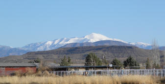
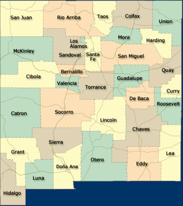
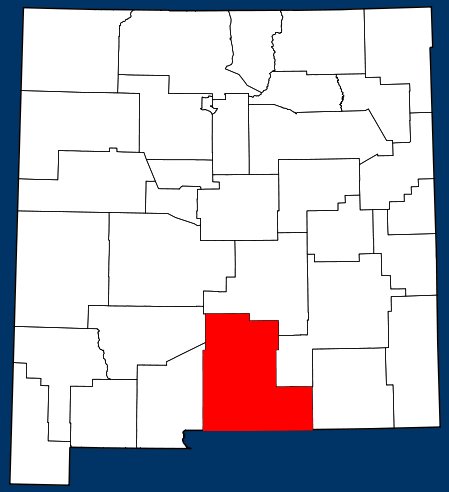
White Sands National Monument New Mexico

VISIT WHITE SANDS
Where is White Sands located?   ::   How to get there?    ::   Where to stay?   ::   What to do at the Sands?  
What else to do in the area?   ::   Nightlife   ::   Filming a Movie?   ::   Weather at the Sands
  ::   How to Photograph White Sands?

ADDITIONAL INFO
General info   ::   Geological info   ::   Info on the dunes   ::   About Gypsum   ::   History of the Monument
Lake Lucero   ::   Military   ::   NASA    ::   Spaceport America    ::   Tularosa Basin    ::   Alamogordo
Otero County    ::   Doņa Ana County   ::   New Mexico   ::   Chihuahuan Desert
Hunting and Fishing in New Mexico    ::   UNESCO World Heritage Site   ::   Hot Air Balloon Festival

Visitor's Guide   ::   About Us   ::   Support   ::   Downloads   ::   Maps   ::   Events   ::   News
Photo Gallery    ::   Submit Your Photo   ::   Featured Content


© 2017 Emerson Kent. All rights reserved.
Contact Us